SmartCampus
Mapping Better Decisions for Your Campus
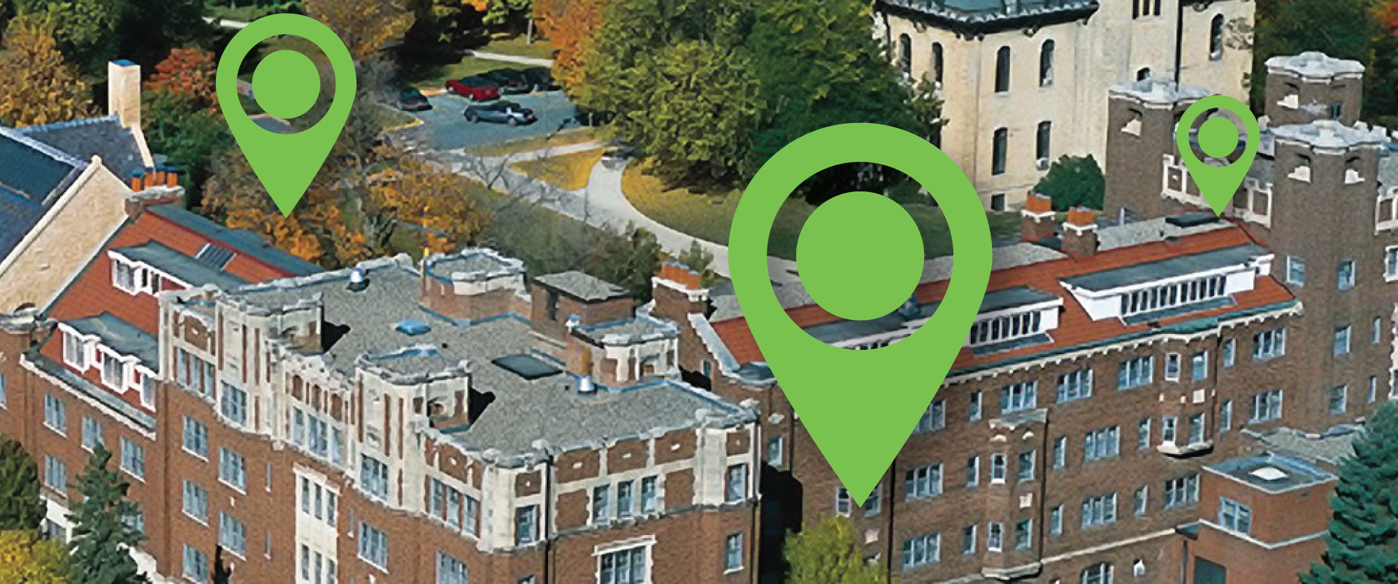
SmartCampus® is a plug-and-play solution that assists in determining the what, when, and where of physical assets.
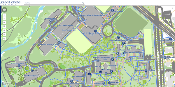
Mapping: Mapping features can be processed into the finished environment. Users can have data associated with features such as sidewalks, building footprints, and greenspace.
Facilities: SmartCampus assists in facilities management by compiling geographic information of buildings and other structures. Data regarding each feature will be compiled so users can view information such as square footage, number of rooms, and building plans on-the-fly.
Land Management: Along with recreation areas, many universities and colleges maintain lands for research or preservation. Using remote sensing land can be analyzed and mapped for an easily digested map product. Since remotely sensed data can be difficult to interpret, our geospatial team will create datasets that are easy to read and accessible across several platforms.
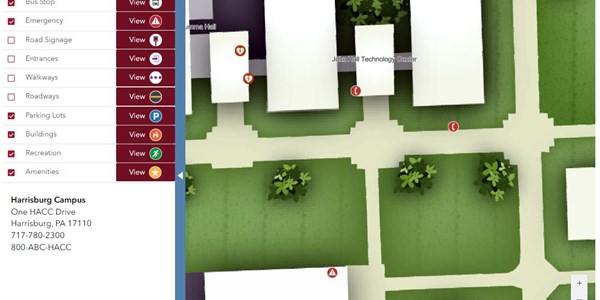
Recreation: Many universities and colleges maintain walking and hiking trails throughout their central campuses and adjacent properties such as forests or arboretums. The recreation data of SmartCampus can assist in trail mapping for PDF production, wayfinding, and general maintenance.
Property Portfolio Management: Our property portfolio database template connects and stores data about the organization’s parcels. This data will match recorded dimensions from the record of survey or plan. From the desktop environment, users can quickly analyze data.
Public Safety: Public safety, policing, and 911 data can be compiled within the SmartCampus interface for entities with internal police departments and security staff. Cameras, crime incidents, safety callboxes, and patrol routes, for example, can be mapped so internal staff can display and perform map-based analysis.
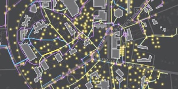
Utilities: Utility models in SmartCampus allow for the total mapping of utility systems such as stormwater and sanitary systems. Our templates allow for the storage of center inverts, pipe inverts, material, size, structural integrity, and photos associated to points.
Grounds: SmartCampus can assist in grounds maintenance by the mapping of greenspace, mulch beds, gardens, receptacles, park benches, or any other space of structure the grounds crew are responsible for maintaining. Information such as fertilizer applications can be recorded so maps and spatial diagrams can be generated to outline the priorities of work.
Planning: Using SmartCampus and geospatial technology to its fullest capabilities can eliminate the need for looking through paper plans for information regarding water shutoff valves, the amount of acreage to be mowed, or access to the nearest handicap accessible entry door.
Administration: All of your geographic information at your fingertips! SmartCampus allows you to have a central hub for all of your locational data. It is your one place to go for all the what, when, and where of your campus’ physical assets.
![]()
Interested in learning more about SmartCampus®? Contact us!