Water Wells Database Application
Ohio Department of Natural Resources, Division of Geological Survey
Markets utiltized:
Keywords
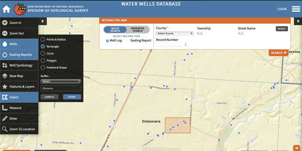
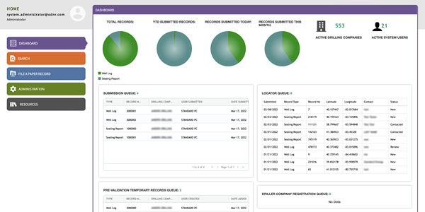
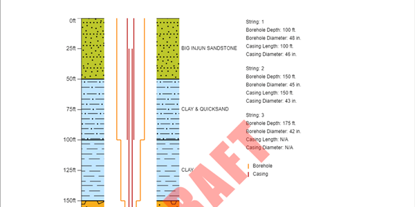
JMT Technology Group developed a modern and stable web-based system for the Ohio Department of Natural Resources (ODNR), Division of Geological Survey that allows water-well drillers to easily submit data and the division to efficiently maintain the data. The project included the migration of approximately 950,000 records from a legacy database, data clean-up, and the development of a new user-experience-focused web interface that allows the registration of well drillers and their employees, submittal of water well records, approval of those records, and tracking of water-wells. This new interface includes substantial front and backend validation to ensure that the data entered for well logs or sealing reports meets several validation criteria. From a mapping perspective, the system was developed using ESRI’s ArcGIS server to provide Geographic Information System (GIS) searching for water wells in the state. The system has integrated with the state’s InnovateOhio platform for statewide single sign-on. The newly developed ODNR Water Wells Log Database has allowed the division to achieve greater workflow efficiency, the ability to have tighter controls over processing, and the opportunity to provide better customer service to Ohio citizens.
“The new Water Wells Database application developed by JMT Technology Group furthers the Ohio Geological Survey’s mission of supplying geologic information and services to the public, providing Ohioans with a more interactive, efficient, and accurate platform for accessing the state’s water-well and well-sealing data,” said Craig Nelson, hydrogeologist from the ODNR Division of Geological Survey. “From a user-experience perspective, it is a remarkable advancement over the old system.”


