MD SHA Verification and Quantification of Bicycle Facility Pavement Markings
MD SHA, Office of Highway Development
Markets utiltized:
Keywords
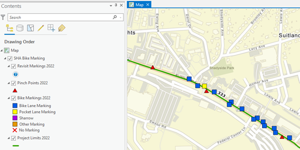
JMT worked with two subconsultant field teams to visit state road improvement projects across Maryland. The field teams used GNSS receivers in conjunction with Esri Field Maps on iPads to improve the accuracy of their field data collection. Each team was assigned several counties per week to visit recent road projects, where the teams took time lapse videos along project lengths, determined bike marking types, and took measurements on the roadways and shoulders. Data was entered into the Field Maps application and included photos of different types of markings. JMT coordinated the field team efforts and completed QC checks of the data collection daily and provided feedback to the teams. Once field data collection was completed after about six weeks, time lapse photos were processed and final deliverables were prepared and uploaded to Maryland State Highway Administration's preferred platform. JMT’s senior GIS analyst reviewed the final data and compared the data with previous years and the estimated project miles in the current year’s scope to help provide better estimates for future work.

